Exploring Norway’s Diverse Geography: From Fjords to Forests
Norway’s geography offers a stunning array of natural features, from breathtaking fjords and towering mountains to dense forests and serene lakes. Its geographical location on the Scandinavian Peninsula in Northern Europe contributes to its diverse climate, making it a fascinating destination for travelers and nature enthusiasts alike. In this article, we’ll explore some of the most significant aspects of Norway’s geography, as well as its key geographical regions.
Norwegian Fjords: Nature’s Masterpieces
Norway is world-renowned for its fjords, steep glacially-carved valleys filled with seawater. These iconic natural features are a testament to Norway’s geological history and the result of millions of years of glacial activity. Some of the most famous fjords include Geirangerfjord, Nærøyfjord, and Sognefjord, which are all part of the West Norwegian Fjords UNESCO World Heritage Site.
Mountainous Landscapes
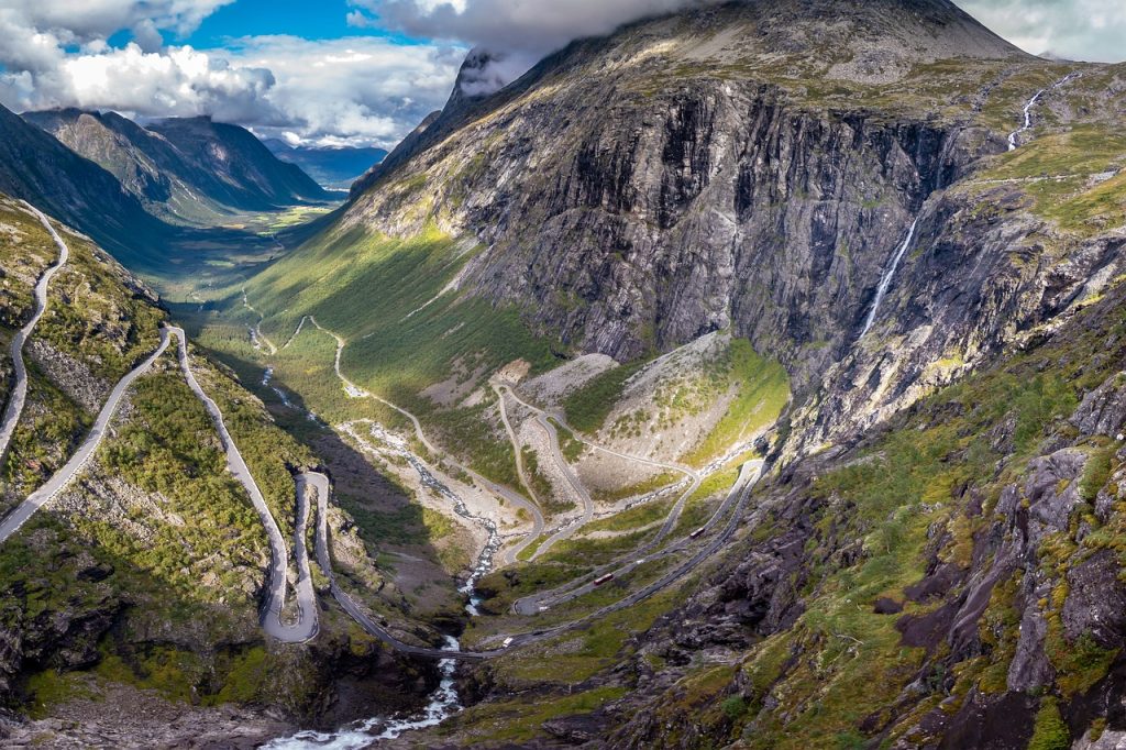
The Norwegian landscape is dominated by mountains, which cover more than half of the country’s land area. The Scandinavian Mountains, also known as the Scandes, stretch across the entire length of Norway and feature some of the highest peaks in Europe, such as Galdhøpiggen and Glittertind. These mountains provide ample opportunities for hiking, skiing, and other outdoor activities, as well as stunning panoramas of the surrounding landscapes.
Forests and Natural Resources
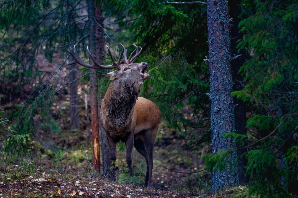
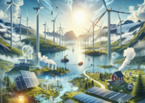
Forests cover approximately 33% of Norway’s land area, with the majority being coniferous forests. These dense woodlands are home to a diverse range of flora and fauna, and they play a crucial role in the country’s economy, providing timber and other natural resources. Norway is also rich in other resources, such as hydroelectric power, minerals, and fish, which contribute to its thriving industries.
See more about Norway Wildlife: A Journey Through the Land of Majestic Creatures
Arctic Circle and Glaciers
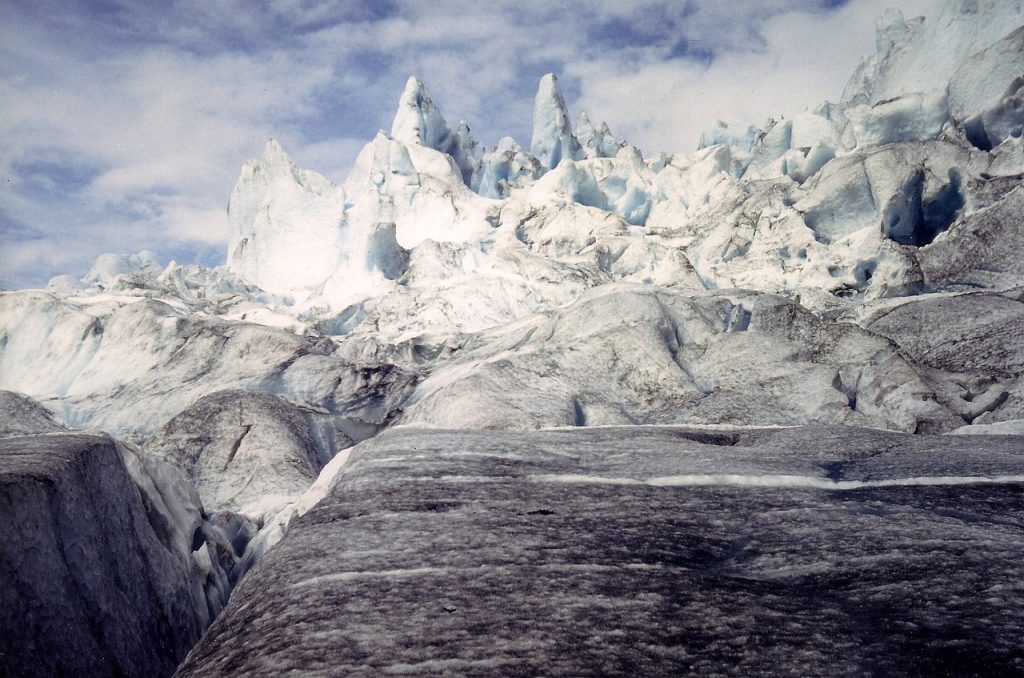
Approximately 10% of Norway’s landmass lies within the Arctic Circle, characterized by its unique climate and landscapes. This region is home to the world’s northernmost point on the European mainland, the North Cape (Nordkapp), as well as glaciers like Jostedalsbreen and Hardangerjøkulen. Norway’s glaciers are essential for studying the effects of climate change and understanding the country’s geological history.
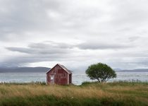
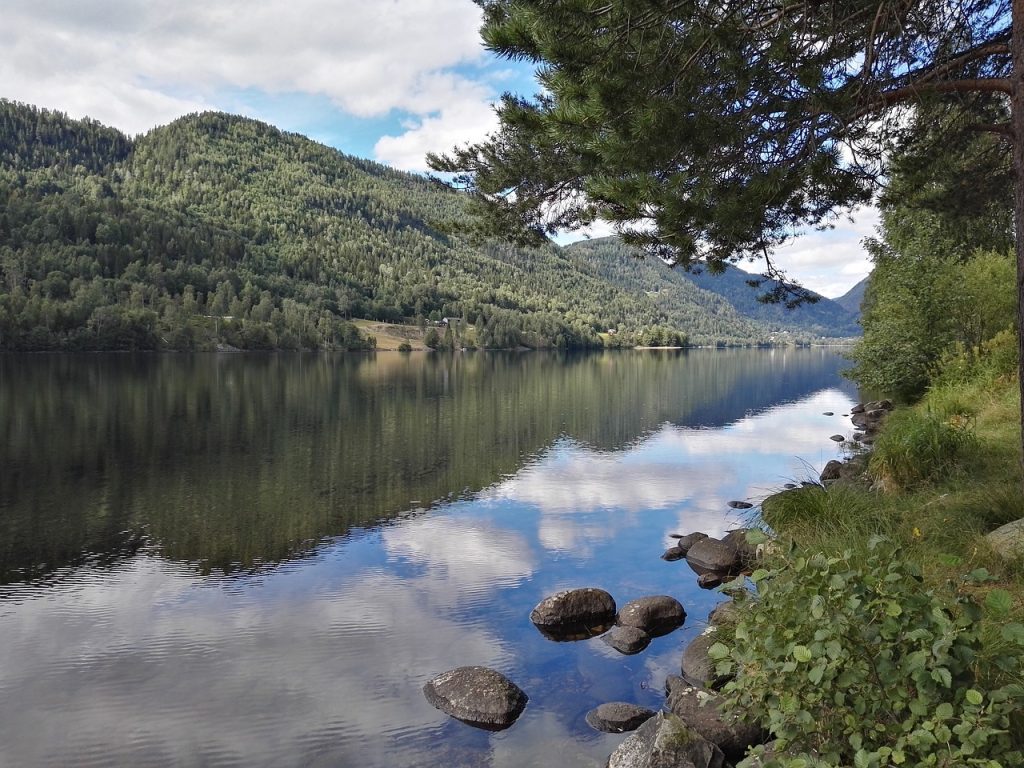
Lakes, Rivers, and Coastlines
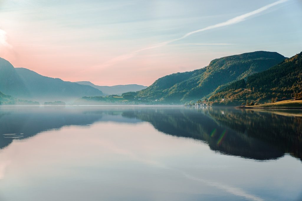
Norway boasts an extensive network of lakes and rivers, providing vital water resources and recreational opportunities for locals and tourists alike. The country’s coastline is also noteworthy, stretching over 25,000 kilometers and featuring numerous islands, peninsulas, and bays. This intricate coastline has shaped Norway’s maritime history and continues to play a significant role in its economy and culture.
National Parks and Protected Areas
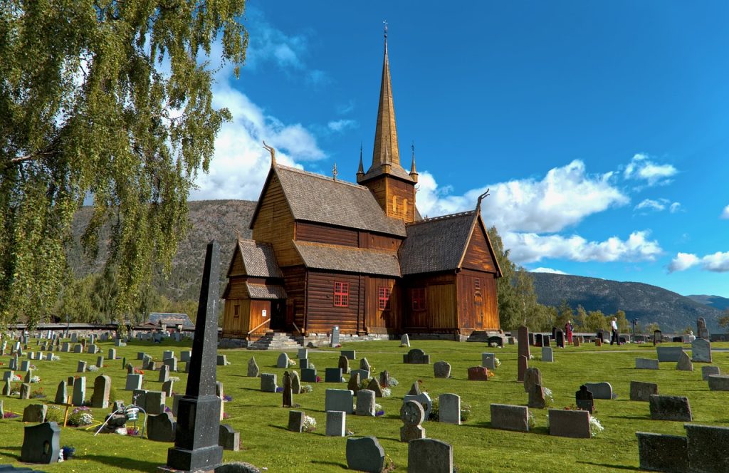
To preserve its incredible landscapes and biodiversity, Norway has established numerous national parks and protected areas throughout the country. These parks, such as Jotunheimen, Rondane, and Dovrefjell-Sunndalsfjella, provide opportunities for visitors to explore Norway’s unique geography and experience its pristine wilderness.
Norway national parks: https://www.norgesnasjonalparker.no/en/
Conclusion
Norway’s geography is a treasure trove of natural beauty and diversity, from its iconic fjords and mountains to its lush forests and striking coastlines. By understanding and appreciating the country’s geographical features, we can better appreciate the rich tapestry of Norway’s landscape and the unique experiences it has to offer.
- Norwegian Myths in Modern Media: From Literature to Video Games - August 20, 2024
- Urban Farming in Norway: Green Spaces in the Heart of the City - August 14, 2024
- Norwegian Legends: The Enigmatic Sea Serpent of Seljord - August 13, 2024